Road infrastructure plays a vital role in supporting economic growth and improving the quality of life for citizens. GIS technology is advantageous in planning and managing the development of roads. In this blog, we discuss applications of GIS for road infrastructure. In a developing country like India, urban planning and overall development greatly includes road […]
How To Use GIS For Road Infrastructure Planning
GIS is being used by hundreds of thousands of organisations worldwide today to create maps that facilitate communication, analysis, information sharing, and the resolution of challenging issues. There are also many useful applications of GIS in Aviation industry. Geographic systems are primarily used for managing planes at the airport. The aviation industry’s stakeholders can more […]
Climate change is a pressing global issue that significantly impacts human lives and natural ecosystems. Moreover, its effects only become more severe and widespread. Thus, all organizations must take steps to calculate their climate risk assessment and make the necessary changes in their operations. Geographic Information System (GIS) is a powerful tool that can aid […]
GIS is everywhere today, with applications in almost all fields and industries worldwide. At individual and business levels, it proves beneficial in our day-to-day lives. The GIS industry is growing at an exponential rate and provides multiple tools for every organisation due to its extensive range of capabilities. For the average person, mastering GIS presents […]
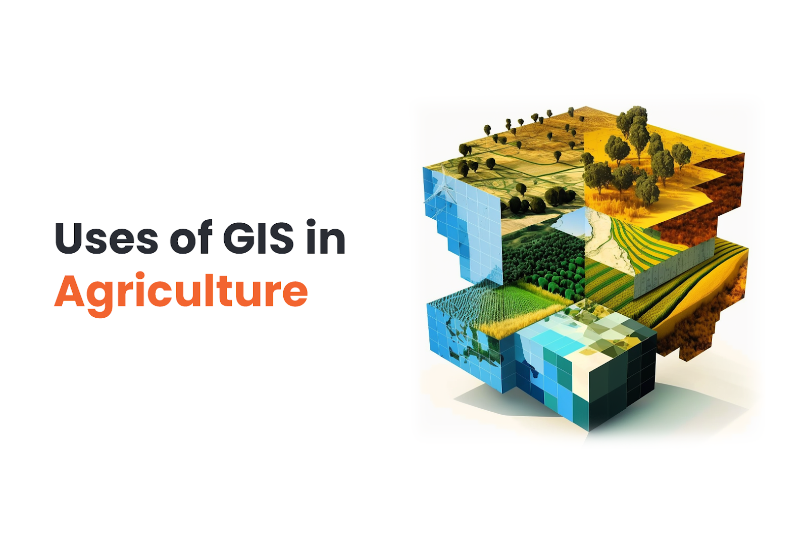
We all know GIS is used in mapping and finding the best route…etc. But GIS in agriculture? How are maps related to farming? How will GIS help in crop growth? We have got news for you. Geographic information system (GIS) is actually extremely useful in agriculture. GIS technology gives us the ability to gather and […]
When we were young, my friends and I loved jumping and splashing in the many potholes that lined our roads. In our tiny world, the pothole was a massive lake for our paper boats to cruise in. But now, we all realize how dangerous potholes are, and how it severely affects the road safety in […]
Geographic Information Systems (GIS) technology has become essential for various industries, including government, transportation, utilities, and natural resources management. GIS provides a powerful platform for visualizing, analyzing, and managing spatial data, making it possible to make data-driven decisions and solve complex problems. However, GIS software and data costs can be significant barriers for many organizations. […]
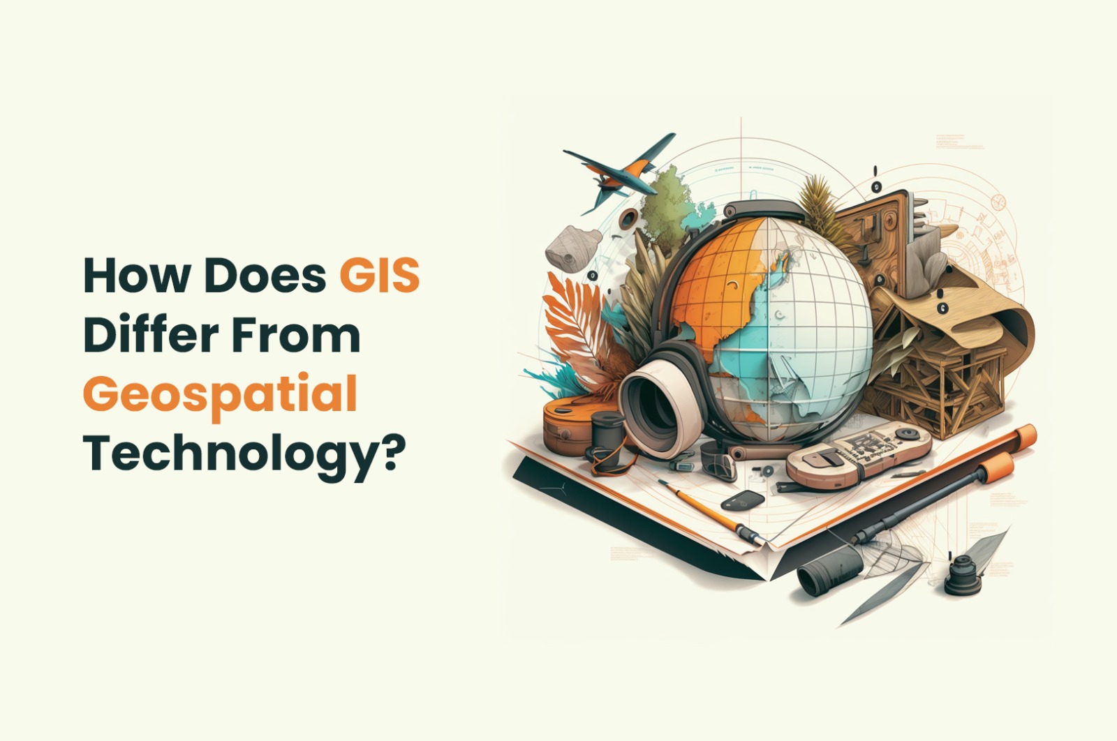
In recent times, nothing has had a more significant impact on people’s lives worldwide than geographical data. People use geodata in their daily lives constantly, from navigation to region-specific television and more. There are many geographical technologies that govern our understanding of geodata. In this blog, we discuss about two of them – GIS vs […]
Imagine taking your grandparents on a ride in your new car, and Wham! They bumped their head on the car’s roof because you jumped a nasty bump. Sadly, this is a far too common occurrence on our roads. Whether you are driving a car or on a bicycle, potholes on your route can be anywhere […]
India has the fastest-growing economy and focuses on infrastructure development, digitalization, and urbanization across all economic sectors. GIS is already integral to infrastructural development, healthcare, agriculture, and administration programs. Additionally, the rise of the global GIS market has picked up speed in the last two years. The reason for the same has been the speed […]

