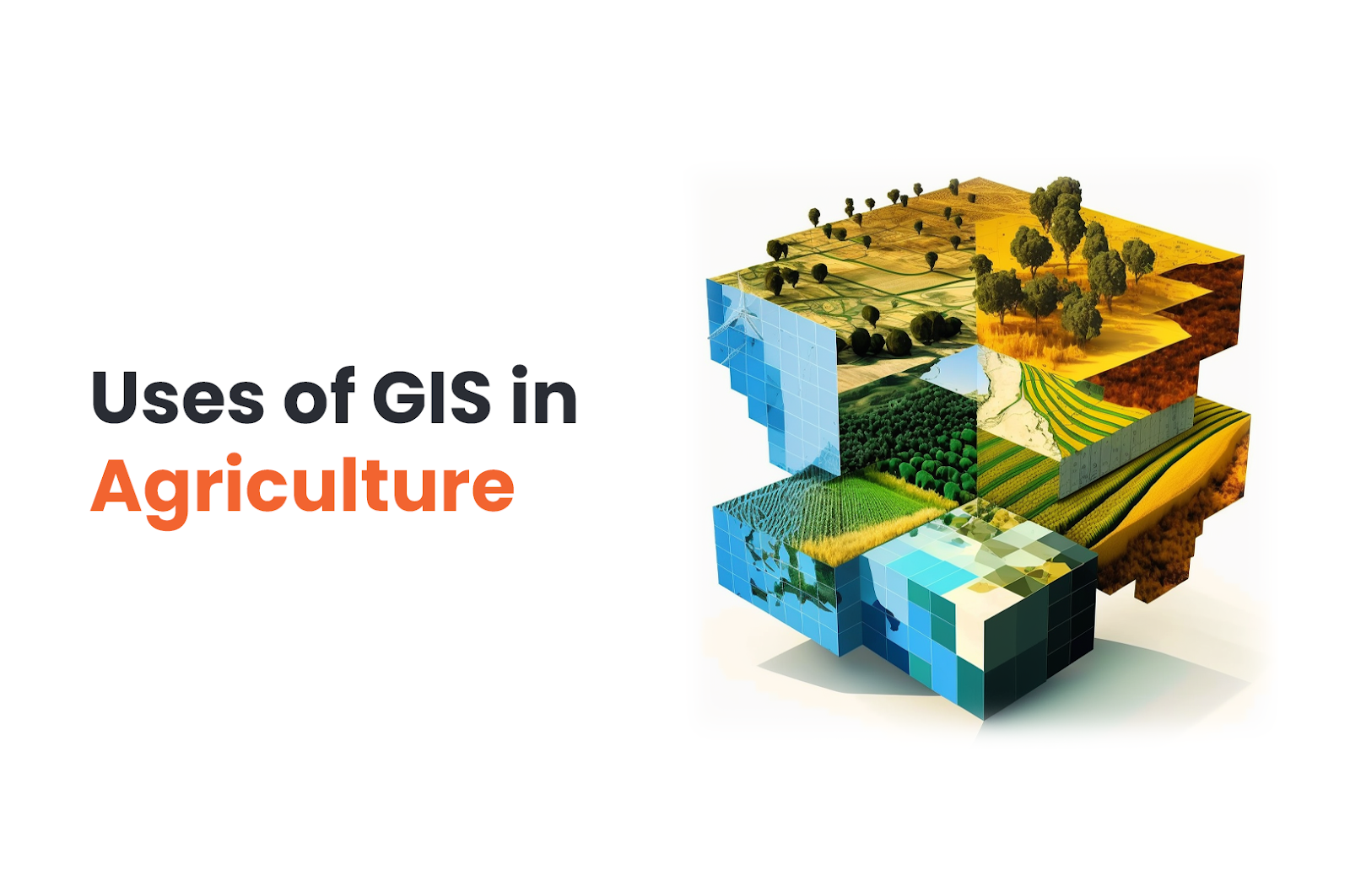
How Using GIS in Agriculture Can Improve Your Crops
We all know GIS is used in mapping and finding the best route…etc. But GIS in agriculture? How are maps related to farming? How will GIS help in crop growth?
We have got news for you. Geographic information system (GIS) is actually extremely useful in agriculture. GIS technology gives us the ability to gather and analyse farm data quickly. GIS agricultural data can be gathered via field equipment on the ground, drones, and satellites in the air. This GIS data can be used in agriculture to get –
- Precision farming
- Crop prediction
- Animal tracking
Significant agrifood players frequently use GIS systems for agriculture to increase short-term earnings and achieve long-term sustainable development objectives.
Real-life Applications of GIS in Agriculture
There are many applications of GIS modelling in agriculture.
-
Livestock Monitoring
The simplest use of farm GIS software in animal husbandry is tracking individual animals’ movements. This makes it possible for farmers to find them on a farm and monitor their nutrition, fertility, and general well-being.
Two GIS services that are most efficient on the farm are trackers connected to animals and a mobile device that gathers and displays data from the trackers.
-
Insect And Pest Control
The invasion of harmful insects and pests seriously damages crops. To prevent this, you may employ a bird’s-eye perspective to establish accurate, timely alerts. However, even photos with excellent quality could fail to show early symptoms of infection. Then, AI would be an alternative. Using various methods, you may create a neural network (tools for modelling non-linear statistical data) and train it. By feeding the neural network pictures of contaminated land during this training, the network learns to recognise samples that point to an infestation. The land you wish to investigate is then sent to it in the form of satellite photos.
-
Irrigation Control
Monitoring large fields to ensure that each crop gets enough water is a demanding task that GIS in agriculture can easily tackle.
AI algorithms in GIS may use images taken by drones and satellites with high-resolution sensors to evaluate the water stress in each crop. Water stress will be visible when low water potential in the soil causes the plant to have a low water potential.
You may also spot visual patterns that underlie water problems with GIS. By fusing these images with water delivery system maps, you may assess the efficiency of your current irrigation system.
-
Flooding, Erosion, And Drought Control
You may identify flood-prone areas using mapping techniques. You must compile data on prior floods, field research, and satellite images. You can use those data to create a dataset that trains a neural network to recognise and map flood dangers, giving you the ideal tool for disaster management.
The Universal Soil Loss Equation (USLE) is used with GIS and remote sensing to assess the vulnerability of a piece of land to soil erosion. You may also map how much the soil has deteriorated throughout the field.
-
Crop Health Monitoring
The least effective method of monitoring crop health is manually inspecting it. In agriculture, remote sensing and GIS are helpful in solving this problem.
Satellite photos and input data can be combined to evaluate environmental variables across the field, such as humidity, air temperature, surface conditions, and others. With GIS, you may implement precision farming, a farming style that uses geographic data to identify field variability to ensure the best use of inputs and increase farm output. It may assist you in determining which crops need further care.
Wrapping Up
Data is one of the most crucial elements of GIS technology. The most optimum use of crops and other resources like water, land area, fertilisers, machinery, etc., is possible through GIS. It ensures the best possible ways to achieve great results through data analysis, as data is the key to success in today’s technology-led world.
Technology is constantly changing; thus, agriculture must use it to the utmost extent possible to boost output and effectiveness.

